Water Monitoring and Your Health. A Look Back at Ten Years of a Pioneering Program that Continues to Inform Us All About Our Acute Water Crisis
Over-extraction of our aquifers, mainly by the agroindustrial sector, which uses more than 85% of our water supply, is not only affecting the overall availability of water, but it is also directly correlated to an increase in dangerous contaminants such as arsenic and fluoride – the most prevalent in our water supplies in the Alto Río Laja Watershed region, which includes San Miguel de Allende and more than 2,800 other rural and urban communities.
These extremely hard-to-remove chemicals are extremely dangerous for human consumption and correlated with chronic kidney disease, dental and skeletal fluorosis (teeth turning brown and bones becoming deformed and brittle), cognitive development impairments in children, skin lesions, and several types of cancer.
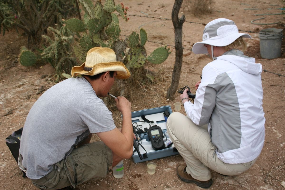
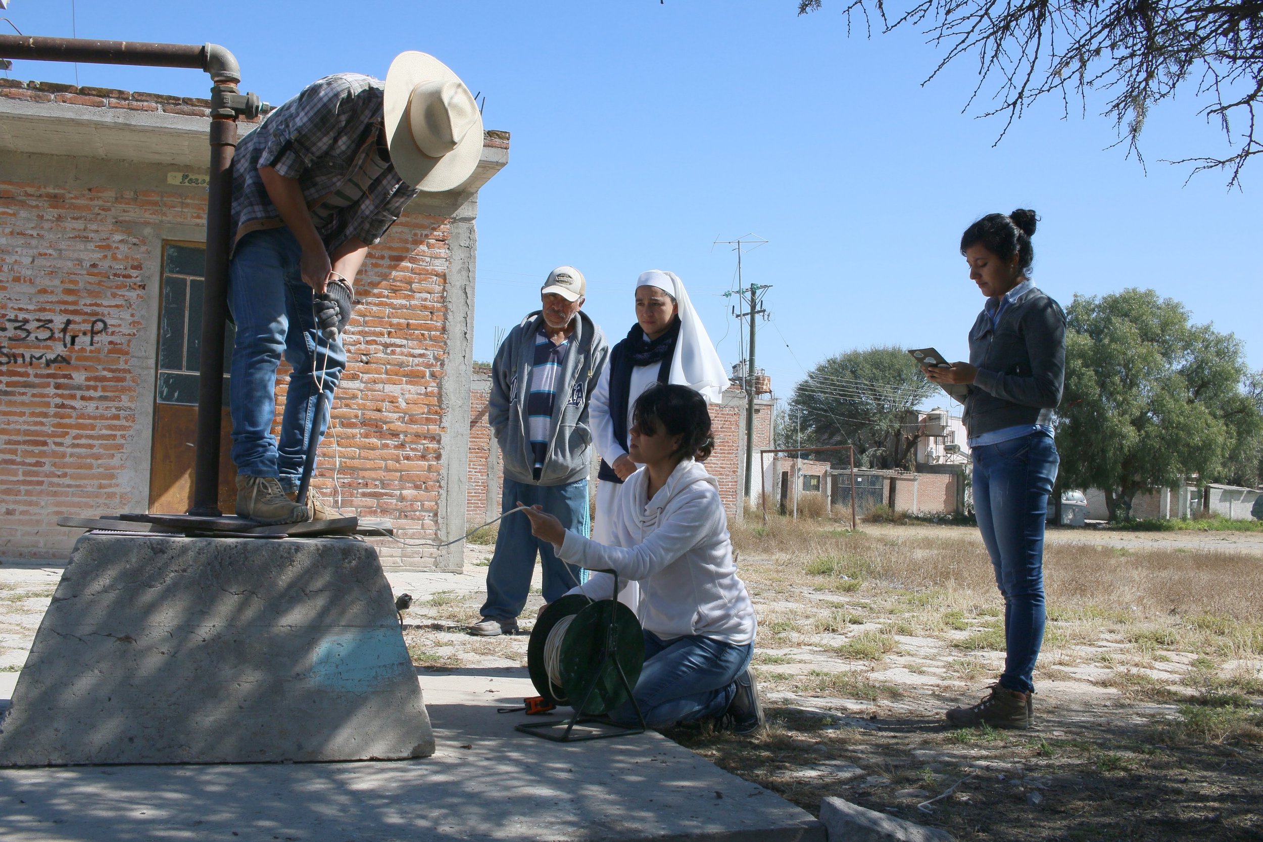
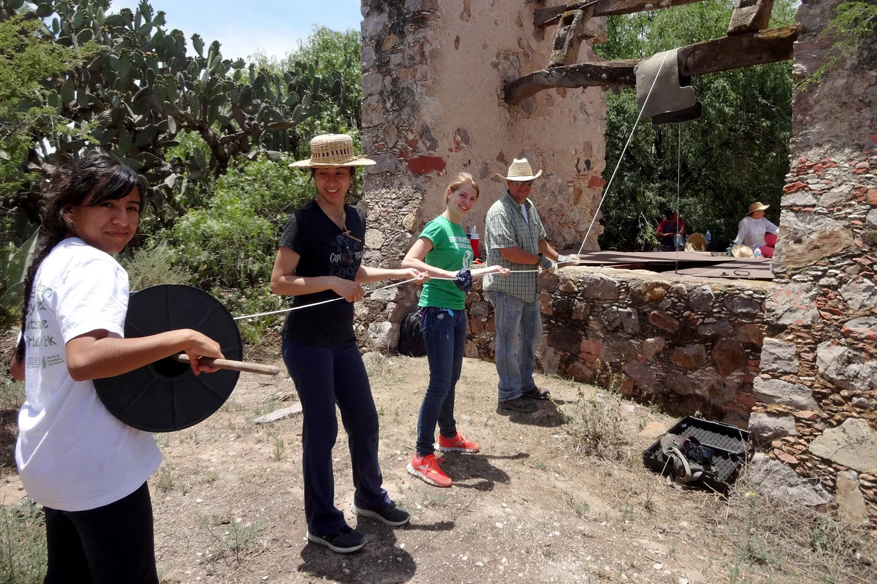
These health impacts are 100% preventable, and it all begins with identifying the problems and building awareness. Our interactive Water Quality Map, a tool that emerged from our Water Monitoring Program, embodies that ideal. Built through years of field testing in both rural communities and urban neighborhoods in San Miguel, our easy-to-use map is made freely available to anyone who wants to know about their water quality. Over the years, we have expanded this map to include thousands of sites throughout the country. So, whether you live in rural Chihuahua State, or in downtown San Miguel de Allende, you can now easily obtain information about water quality near you as well as discover ways to better protect your health.
All the way back 2013, after more than two years of direct field work by CODECIN – a coalition of communities and organizations, including Caminos de Agua – the data we collected through our Water Monitoring Program, along with witness testimony on the health impacts of drinking contaminated water, were woven into a 500-page human rights case and presented in front of the the Permanent People’s Tribunal, an international human rights ethical body, which stated:
“Given the seriousness of the cases reported regarding overexploitation and contamination of surface and groundwater, and its impact on people and ecosystems, it is recommended that the Mexican government...declare [the entire Upper Río Laja Watershed region] an emergency zone due to the environmental and health risks.”
Over the past 10 years, we’ve built a network of collaboration through our Water Monitoring Program that includes local communities and grassroots organizations, municipal and federal government, and dozens of researchers and academic institutions like Texas A&M University, the University of Guanajuato, NC State University, Imperial College of London, and many more. We’ve worked with Municipal Governments to uncover horrific increases in arsenic and fluoride over short periods of time, and we collaborated with a national network of actors to persuade the National Water Commission (CONAGUA) to make water quality data public for thousands of sites around the country.
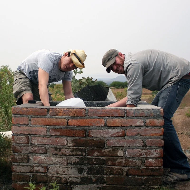
Our Water Monitoring Program is far from only an analysis of rural water quality. In recent years, we’ve tested urban neighborhoods in San Miguel where arsenic levels exceed the allowable limit by nearly threefold. This realization led us to launch our Urban Water Initiative this past year, to help educate urban dwellers on both our crisis and the solutions available to them to confront this crisis.
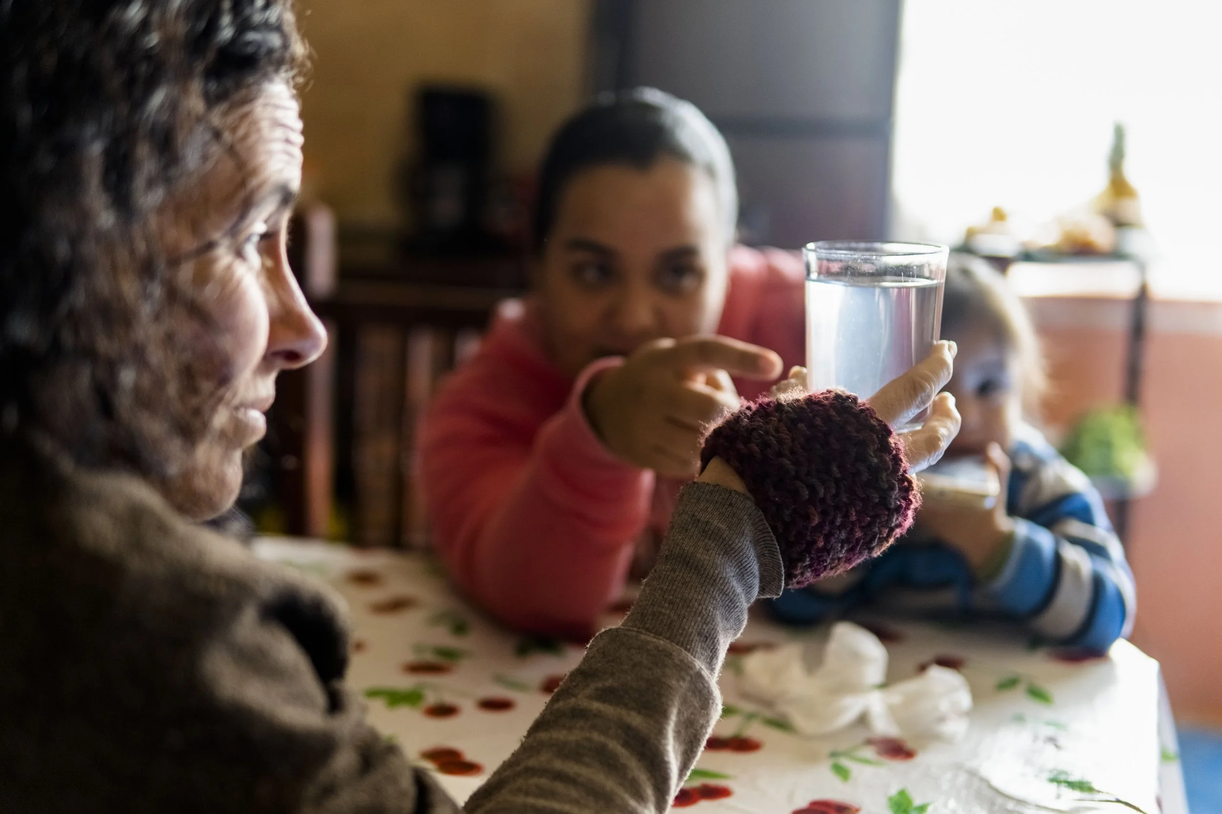
Knowing what’s in our water is the first critical step of taking control of our health and wellness.