Introducing Our Regional Water Issues

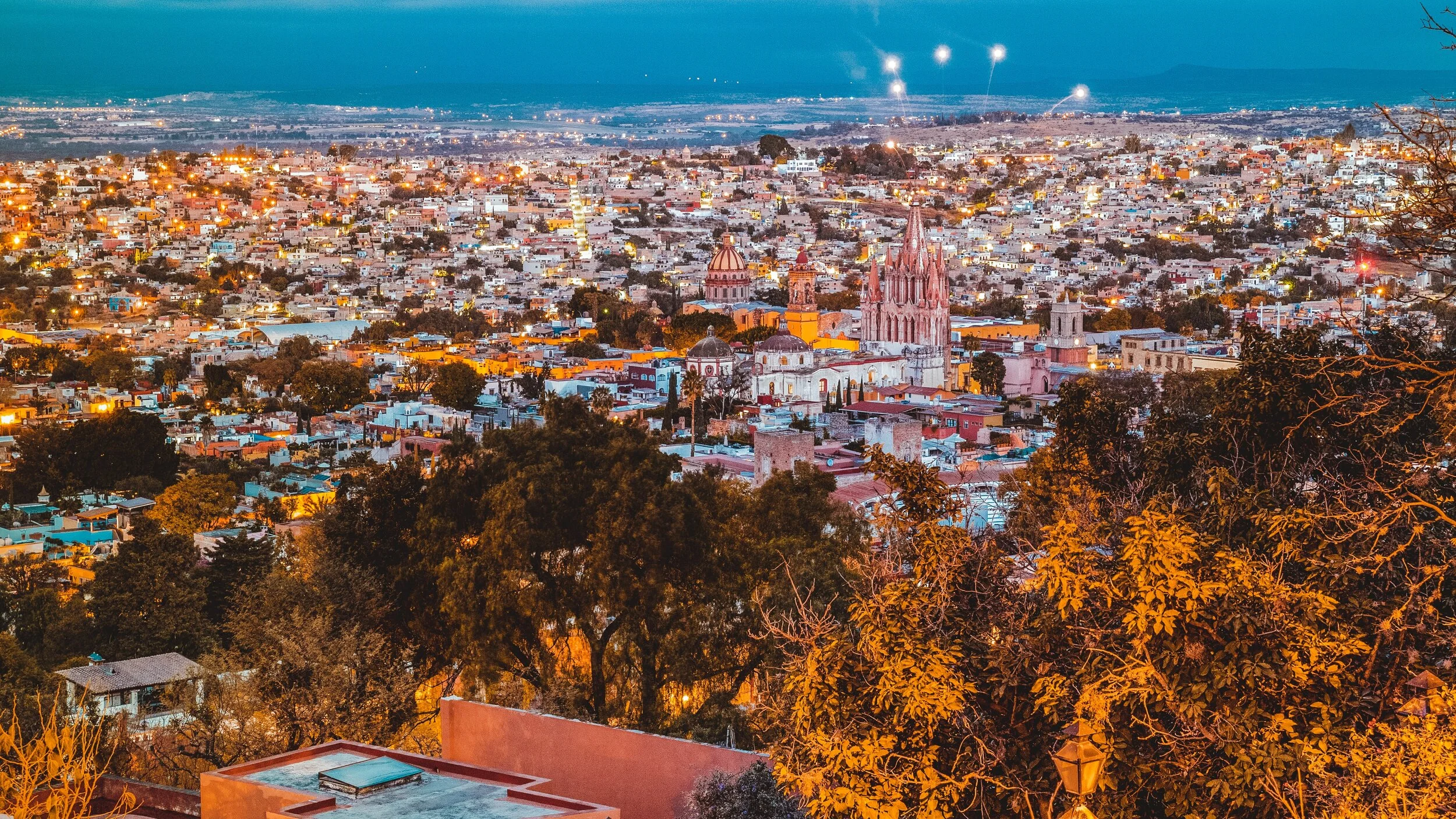
The Upper Rio Laja Watershed (pictured above) – where San Miguel de Allende is located – is the main water reservoir for more than 680,000 people throughout northern Guanajuato State. We are experiencing an acute water crisis in this region due to the overexploitation of the aquifer, our shared water resource, mostly due to export-agricultural producers, which consume up to 85% of the total water available. According to the State Water Commission, the water table is dropping by 2 to 3 meters (~7 to 10 feet) a year – some of the most over-extracted water on the planet, making water more scarce and even causing wells to go dry.
These increasingly severe water scarcity conditions are forcing us to dig wells deeper and deeper in order to reach the water table. In both rural and urban areas alike, we are now extracting water highly contaminated with arsenic and fluoride, naturally-occuring chemicals, which are more prevalent at these depths.The health threats related to the consumption of arsenic and fluoride are well documented, leading to dental and crippling skeletal fluorosis (browning of the teeth and bones become brittle and deformed), cognitive development and learning disabilities in children, chronic kidney disease, and several types of cancers. To illustrate, chronic kidney disease went from being the 15th cause of death for all ages in 1990 to being the second cause of death in 2013 (click here to learn more).
The crisis is increasingly affecting cities like San Miguel de Allende. It's clear to us that the time has come to educate residents about the current and future risks as well as what can be done on both personal and community levels to assure the future of our finite water resources. We simply cannot ignore the urban side of our water crisis any longer.
This water crisis is affecting much of Mexico, but our region is being hit especially hard. In fact, in 2013, the Permanent Peoples’ Tribunal, an international human rights ethical body, stated:
"Given the seriousness of the cases reported regarding overexploitation and contamination of surface and groundwater, and its impact on people and ecosystems, it is recommended that the Mexican government...declare [the entire Upper Río Laja Watershed region] an emergency zone due to the environmental and health risks."
What's the water quality of San Miguel de Allende?
Caminos de Agua has been monitoring water quality, specifically arsenic and fluoride contamination, for years in both rural and urban locations. Below you will find our Water Quality Map, a digital tool that allows anybody to consult their closest water source and the contamination levels for arsenic and fluoride. Click on the map and zoom to your city or neighborhood to learn more about the water quality in your area.
There are roughly 20 wells that serve the colonias of urban San Miguel de Allende. Because of this, water quality changes according to where you live. Water quality can also change over short periods of time in urban San Miguel due to the fact that water is often mixed between two or more different urban wells. This is done to guarantee the increasing water demand in San Miguel. The unfortunate side-effect is that many in our community, who have no other choice but to drink or cook with contaminated water from the tap, are getting sick.
While this initiative is currently focused on the city of San Miguel, we plan to expand to other cities in our watershed in the future as we continue to increase our knowledge base.
Visualizing the Crisis
PRESA ALLENDE (ALLENDE RESERVOIR)
According to the National Water Commission, the Presa Allende (Allende Reservoir) was at 15% of its total water containment capacity at the beginning of 2021. At the end of 2021, however, the reservoir is considerably more full and in danger of overflowing and causing flooding. Below, an image comparison compares the reservoir’s water levels in February of 2011 and its February, 2021 levels. This situation illustrates the complexity of our water issues and how those issues are further compounded by poor planning and administration in the face of increasingly erratic climate patterns. Climate preparedness and water conservation initiatives are urgently needed. You can learn more about the future of our region and our water cycle by clicking here.
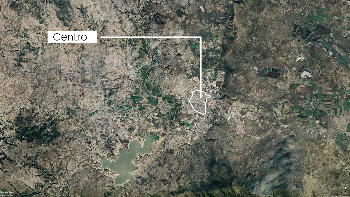
Urban Development and Density of San Miguel, 1990-2040
The urban surface of San Miguel de Allende has been consistently increasing for the past three decades, leading the urban spread of San Miguel to become almost ten times larger than it was in the early 1990s. This has put a lot of pressure on the water and ground reserves of the city, diminishing natural land formerly available for low intensity farming, public recreation, and other human-related activities. At the same time, the urban population of San Miguel de Allende has almost doubled in the past three decades, growing from 48,935 in the 1990s to 80,095 in 2020. In the map below, you can see the different urban expansion phases during the last three decades as well as the projection for 2041, where the urban area is expected to increase three-fold.It is important to remember that the main water consumer in San Miguel is the agricultural sector, however, urban expansion like the one currently planned will only further exacerbate an already worsening crisis.
Below is an animation showing the different urban expansions of the past decades as well as the planned expansion into 2040 (based on the approved Municipal Planning document for 2040).

ECOSYSTEM VULNERABILITY DUE TO CLIMATE CHANGE

Source: GIZ. ©2017.

The ecosystem vulnerability of San Miguel de Allende has been getting worse in the past few decades. This vulnerability refers to the local environmental degradation of local ecosystems such as pastures, agricultural land, and other local ecosystems that have been displaced by the urban growth of the municipality.
AQUIFER EXPLOITATION

Source: Marco Geoestadístico Nacional. Formato Vectorial. INEGI. 2018. Sistema de Información Geográfica de Acuíferos y Cuencas . GIZ © 2017. CONAGUA. 2018.

San Miguel de Allende sits on the Upper Rio Laja Aquifer, a water source responsible for almost all of our water and one that is severely overexploited by human activity. The sub-aquifer of the city proper is dramatically overexploited as well. Throughout the aquifer region, groundwater resources are dwindling at an alarming rate of ~7 to 10 feet (2-3 meters) per year.
WATER SOURCES

Source: GIZ© 2017.

There are 735 extraction sources (wells and other water extraction technologies) in the city of San Miguel de Allende. The majority are privately owned (655), and are principally used for agricultural purposes. However, these numbers are only speculative since there are many reports pointing to dozens – if not hundreds – of unregistered or clandestine wells in the municipality and potentially thousands at state level.
Water Usage
The main use of the municipality’s water resources is for agricultural activities, consuming up to 95.67% of the total water available per year. In the table below, you can see the different water usages, number of wells, extracted water, and consumption percentage by sector. As you can see, the water extracted consistently exceeds the water allocated (what is officially concessioned, or allowed, to be extracted) every single year, which is why our water table continues to drop.
